Published April 22, 2021 by the Vermont Community Newspaper Group in The Other Paper (South Burlington) and The Citizen (Charlotte and Hinesburg)
Q: Before covered bridges were built in the early 1800s, how did settlers cross the rivers?
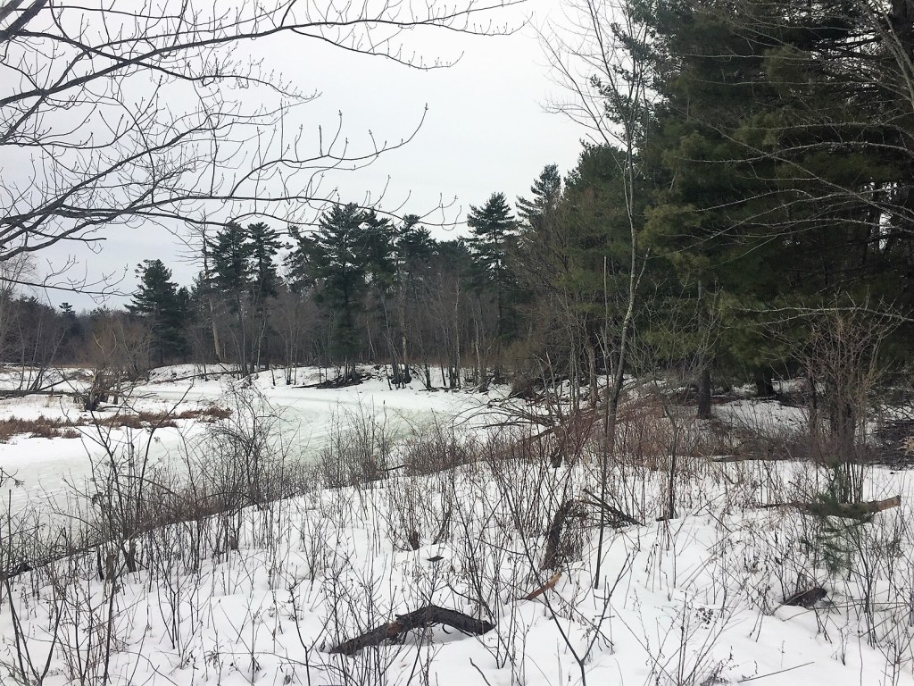
A: I was walking at the mouth of Shelburne’s LaPlatte River trying to imagine a scene from more than 200 years ago. Before the first bridge was built here in 1801, settlers who wanted to cross the river needed to wade or drive their wagons through it to get to the other side. It was a long shot, but I was looking for a sandspit like the one town histories describe that helped settlers with the crossing. The water was high that day, and I saw no sandspit. But the high water drew me to the alternate route the settlers used in similar circumstances. I started on the trail of the LaPlatte River Marsh Natural Area along the river’s west bank. Was the old rough wagon road somewhere under my feet? Too many years had passed to be sure, but it wasn’t too hard to imagine the wagons driving along to one of the other crossings further upstream.
In our well-watered state’s early years, crossing the rivers took thoughtful planning and even shaped the road system. On the smaller rivers, the early settlers learned to assess the land along waterways to find shallow places with gently sloping banks. Then, they laid out roads to use those gentle slopes as places to wade, ride their horse, or drive their wagon through the water.
When I’m in Montpelier, I sometimes walk to the Main Street Bridge and look down at the Winooski River and remember how the early settlers forded here. Before the first bridge was built in 1802, settlers placed a carefully calibrated stake in the river to help them decide whether to ford. If the top of the stake was showing above the water, the water was low enough to be safe to cross. If the top of the stake was underwater, travelers knew it wasn’t safe to cross since the water was high enough to float people and wagons away in the current.
The fords were so important that some Vermont towns were even named for the presence of a good fording spot – Pittsford is one.
In rivers too deep or too swift to ford, or too wide for a simple log or plank bridge, settlers sometimes resorted to ferry boats. In West Ferrisburgh, a ferry operated for several years on Otter Creek. To keep from being swept downstream by the current, a metal cable was attached at both banks, and the ferry boat was drawn back and forth across the river along the cable. The ferry was big enough for carriages, and gave a discount if you went over and back in the same day. At the Winooski Falls, a dam was built in the 1780s, and the mill pond behind it had still water. In the winter, people crossed on the ice. In the warmer months, ferry boats at the bottom of Burlington’s Chase Street were rowed across the quiet mill pond to take people to the other side.
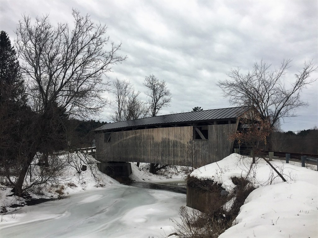
Some early log bridges were built, including the one at Shelburne Falls in the 1780s. But as Vermont became more settled and towns had more resources, more bridges were built. Sometimes roads were realigned up or downstream away from the shallow ford to a steeper high bank that made a better bridge placement. When Charlotte transitioned a ford on Lewis Creek to a bridge where the Quinlan Covered Bridge is now, they moved the road upstream. The bridge was built at the narrow falls area near the saw mill, although I believe I can still see the ford they had used for decades in the gently sloping area downstream.
When a statewide bridge building program started in 1820, many covered bridges (whose roofs protected the wooden decking from rot) were built on public roads in the rest of the century. With the coming of the covered bridge, crossing the river meant listening to the echoing rumble of wagon wheels over the wooden floor instead of the splashes of feet or horse hooves, or the water lapping on the ferry boat’s sides.

With the advent of modern metal trusses and reinforced concrete, crossing the river in Vermont evolved away from covered bridges. Now some modern bridges look so much like the roadway that I don’t even realize I’m crossing a river at all. But if I want to, I can take a moment and stand at any Vermont bridge, and look at the water running past. I can let my thoughts go back to the earlier residents who needed to understand and work with the river itself to find ways to cross it, and may have gotten wet in the process.
Copyright 2021 Jane Dorney
