Published September 23, 2021 by the Vermont Community Newspaper Group in The Citizen (Hinesburg and Charlotte).
Q: How has Hinesburg’s Hollow Road been a critical corridor in Vermont’s natural and human landscapes through time?
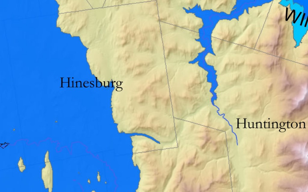
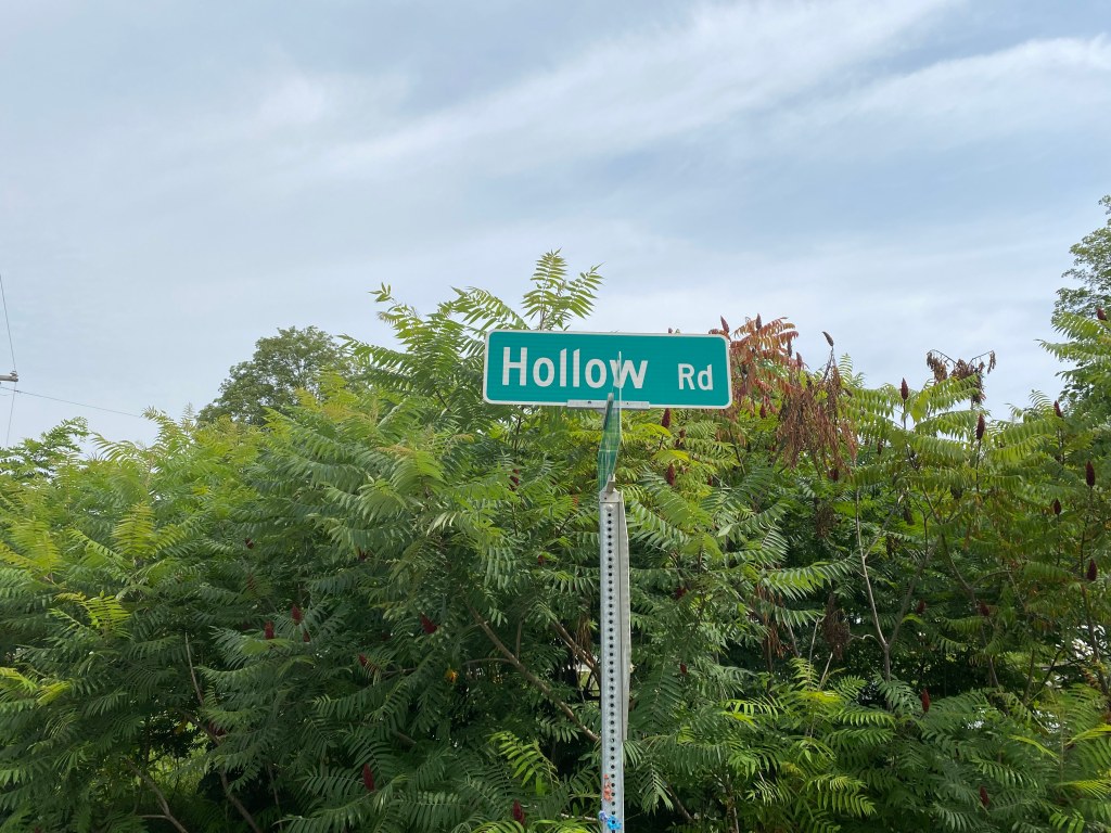
A: On a recent trip on VT Rte. 116 through South Hinesburg, I knew I had to turn up Hollow Road toward Huntington. My mental map of that narrow corridor had recently been redrawn by hearing a talk about its unexpected role during glacial times, which in turn affected its role in the human landscape. I had to retrace the stories’ chapters myself.
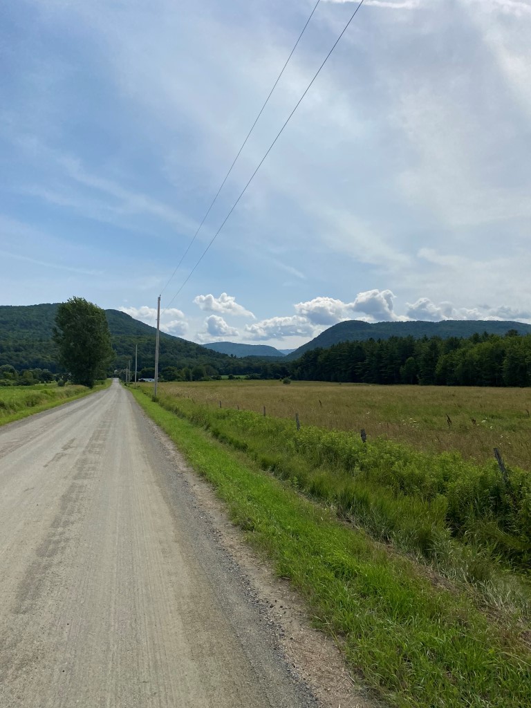
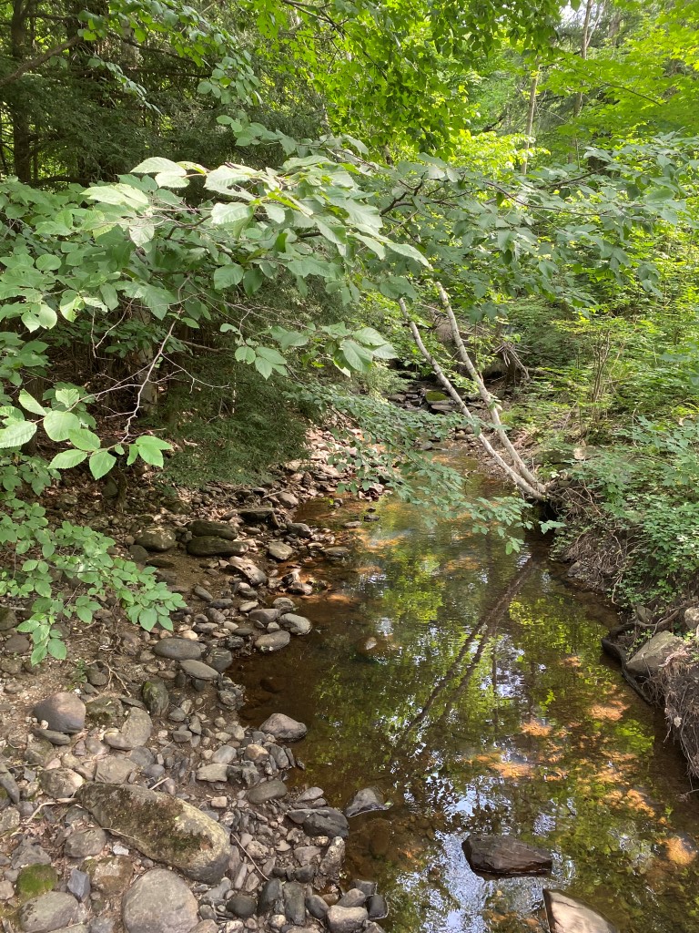
As I turned onto Hollow Road, I saw the first hint about its history: Hollow Brook, which hugs the road, crisscrossing it periodically. Hollow Brook is small and drains Lincoln Hill to the north, but it’s also a faint echo of the roaring torrent of ice-cold water that once came through here.
Geologists remapping the area’s glacial features recently updated the story of the glacial meltwater that came through the Hollow Brook valley almost 14,000 years ago. This valley didn’t just drain the local hillsides then; it played a much larger role as the connector between the upper Winooski River watershed and the large glacial lake that filled the Champlain Valley.
Geologist’s see evidence of a big ice block in Richmond for a time that dammed the upper Winooski River’s meltwater, impounding the water upstream. This blocked water included that from the Winooski River valley above Richmond as far east as Plainfield and Cabot, but also from the tributaries, including the Little River in Stowe, Mad River in Waitsfield, Dog River in Northfield, Stevens Branch in Barre, and the North Branch through Montpelier and Worcester. All that meltwater accumulated and rose behind the ice dam until it got so deep that it found an alternative drainage south. In its first stage it drained through Richmond’s Gillett Pond valley, then in its second stage through the Huntington River valley and turned west into the Hollow Brook valley to South Hinesburg. The Winooski Valley’s glacial lake is estimated to have dropped 85 feet in depth as all that frigid water poured through the narrow Hollow Brook valley.
(Vermont Geological Survey, 2020)
The meltwater running off the bare central Vermont landscape was also carrying lots of sand and gravel left by the glacier. When the sediment-laden meltwater got to South Hinesburg, it encountered a huge glacial lake lapping the Lincoln Hill’s flank. As the meltwater emptied into the glacial lake, it dropped its sediment load building a large delta where Hollow Road meets Rte. 116. Many large sand and gravel pits more than 100 feet deep can be seen there, including ones owned by VTrans and the Hinesburg Sand and Gravel Company. The tops of the sand and gravel pits are at about 600’ elevation, which marks the glacial lake’s level when the delta was formed.
Eventually the glacial ice block in Richmond melted, and the Winooski River went back to its normal drainage pattern. Hollow Road’s corridor went back to draining just the local Lincoln Hill area, but with a lot of leftover sand and gravel as a reminder of past events. Over the centuries, Hollow Brook cut its way down through these deposits to the brook’s current level today.
Fast forward thousands of years, and the human use of the Hollow Road corridor echoes the glacial times. A 150-year-old Hinesburg history mentions some old stories of the Native Americans traveling back and forth along the Hollow Brook-Huntington River corridor as a short-cut connection from the Otter Creek watershed to the Winooski River watershed. At European contact time, the Native Americans were a widely-traveled culture who used the rivers as major corridors, so it’s not surprising they found the same pathway that the glacial meltwater had found.
In the 20th century, the corridor and its large sand and gravel deposits took on a new role in the human landscape. With the advent of faster motorized travel, towns were under pressure to improve the crude 19th-century wagon roads they had used for decades. Major pits opened in 1915 to raise roadbeds, and in 1939 Rte. 116 in Hinesburg started to be paved with asphalt using the sand and gravel. Road building continues to be a major operation for the sand and gravel pits today.

As I drove the road through the narrow valley, I felt the stories’ chapters all connect. From the glacial torrent that found this valley as an escape route from the Winooski Valley and left large amounts of sand and gravel, to the later human use for a regional transportation route, to the last 100 years of re-depositing the sand and gravel in narrow bands across the county to make new travel avenues into the 21st century (including the one I was on), this valley has witnessed many stories about passageways and journeys, both natural and human.
Copyright 2021 Jane Dorney
