Published November 18, 2021 by the Vermont Community Newspaper Group in The Citizen (Charlotte and Hinesburg)
Q: What did the county’s pre-settlement forests look like and how do we know?
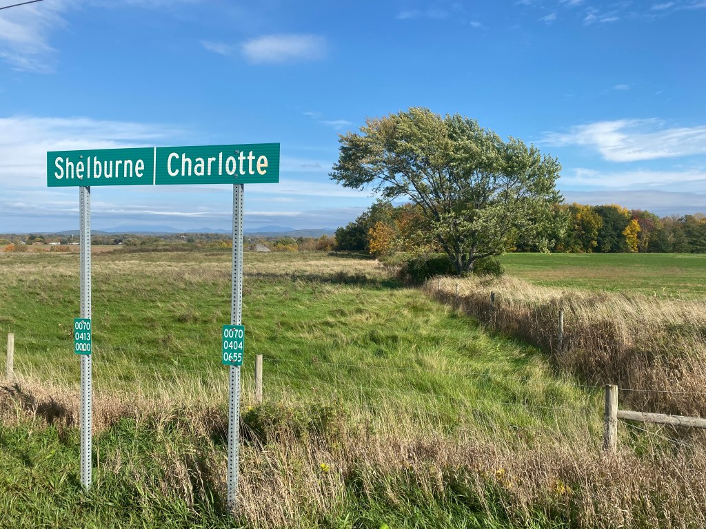
A: When I passed the sign marking the Shelburne-Charlotte town line on Rt. 7, I could see that line imprinted in the landscape features heading off into the distance. Both fence lines and tree lines stretched roughly east-west along this town line that was first drawn in the 1700s. But the original surveyors who created this line had walked through a mature forest to blaze it. What had they seen?
I found an old hand-drawn surveyor’s map of Charlotte in UVM’s Special Collections drawn by John Johnson, a prominent Vermont surveyor in the late 1700s and early 1800s. Its 200-year-old ink revealed big clues about the pre-settlement forest’s composition. No notes have survived about how this map was created, but typically these early town and property boundary maps were made by a team of people, with a compass, axes, and chains.
The mapping team marking town lines was led by a surveyor wielding a compass to sight along the designated bearing through the forest. Axemen cut trees and brush to clear the sight line. Chainmen stretched their 66’-long metal chain taut along that compass line, then repeated that about 500 times to measure each 6-mile-long town boundary edge. At each mile and at the town corners, markers blazed trees with an ax or pounded in a stake as witnesses to the line. They then noted the tree type (or stake) in their field book. The marked trees made it possible for buyers to find the lines, but they were also indicators of the soil type. The potential buyers were farmers looking for good agricultural soils and they judged the soil quality by the tree types.
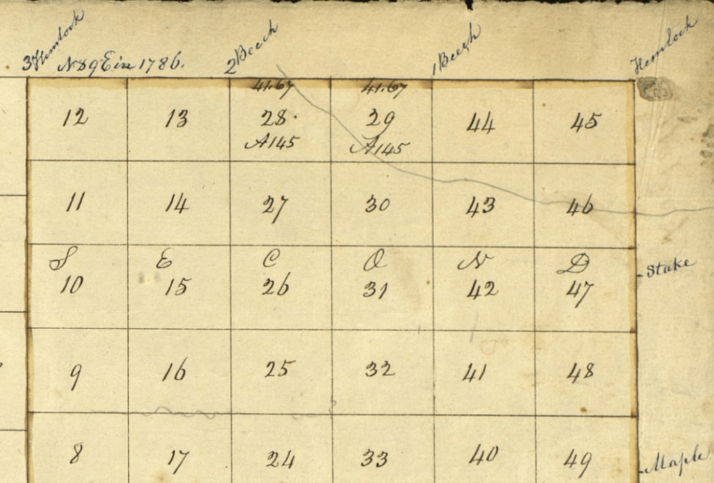
With the data collected, Johnson drew his map, and included the tree types around the perimeter of Charlotte. Starting at the lakeshore end of the Shelburne-Charlotte town line, he noted these trees at each mile: hemlock at the lake shore, stake, another stake, hemlock, beech, another beech, and hemlock at the northeast corner. Along the eastern town line with Hinesburg were a stake, maple, hazle (hazel), stake, maple, and beech at the southeast corner. Along the south line with Monkton and Ferrisburgh, he noted a beech tree, another beech, stake and stones, three more beeches, and a stake and stones at the lake shore. (Trees were not marked along the lake shore since that boundary line was obvious.) Altogether, his map shows 8 beech trees, 2 maples, 3 hemlocks, 1 hazel, and 6 stakes or stakes and stones on the town boundary. This small set of data points suggests the forest type that ecologists call northern hardwoods, but I decided to dive deeper for confirmation.
About 175 years after the first surveyors’ maps of Chittenden County were drawn, a UVM graduate student named Tom Siccama reconstructed a county map of original forest types using early surveyors’ data. From archival maps and field books, he collected the tree data from the county’s original town boundary surveys. But he added hundreds more data points by also using the lotting surveys which marked trees at the corners of all the ~100 acre lots that most towns were subdivided into. After methodically plotting 2000+ trees in essentially a grid pattern, he created a detailed map of the forest types of Chittenden County in the 1700s.
Siccama found that most of Shelburne, Charlotte, Hinesburg and much of South Burlington’s landscape was covered by 40% beech and 16% maple trees, similar to the John Johnson map. These trees prefer rich, moist soils, which aptly describes these areas. They are also the dominant species in Vermont’s most common forest type: the northern hardwood forest. He found smaller percentages of yellow birch, hemlock, and white pine associated with the beech and maple. With this more detailed data collected, Siccama also discerned a very thin band of white oak forest along Charlotte’s lakeshore (as I described in my May 2021 column), as well as other specialized natural communities around the county.
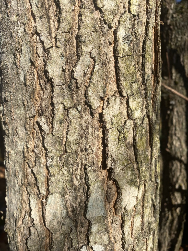
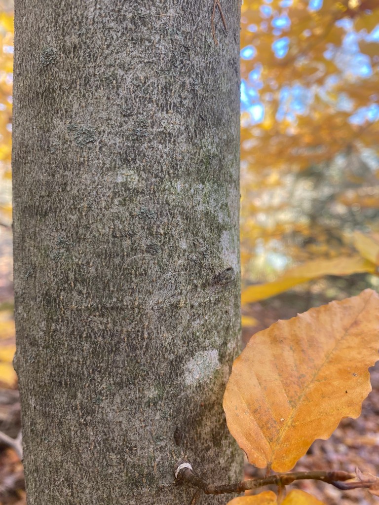
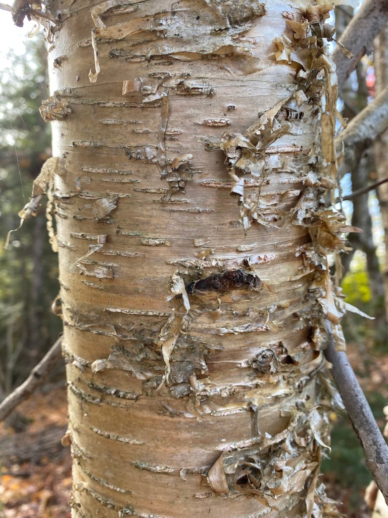
The Shelburne-Charlotte town line is now bounded by open fields, with much of the original forest gone. The open fields show the continuing value of the soils for farming. But forest patches remain in the county’s landscape today, especially those that were maintained by farmers for woodlots and sugarbushes. Some of these patches of woods have been turned into parks with hiking trails that let you immerse yourself in the original forest types. Even with the leaves gone, you can enjoy the smooth gray bark and long, slender buds of the beech trees, the gray, furrowed bark of the sugar maples, and the bronze curling bark of the yellow birches that once covered much of Chittenden County.
Copyright 2021 Jane Dorney
